
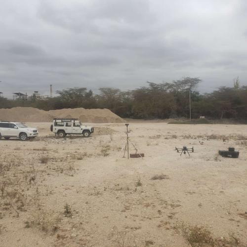
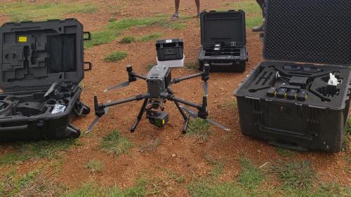
Showcasing our successful drone surveying and geospatial solutions across Africa
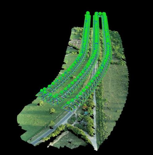
Generated high-precision 3D terrain models with 5cm accuracy for 240km transport corridor planning.

Identified 23 critical faults and vegetation encroachments across 150km of transmission lines.
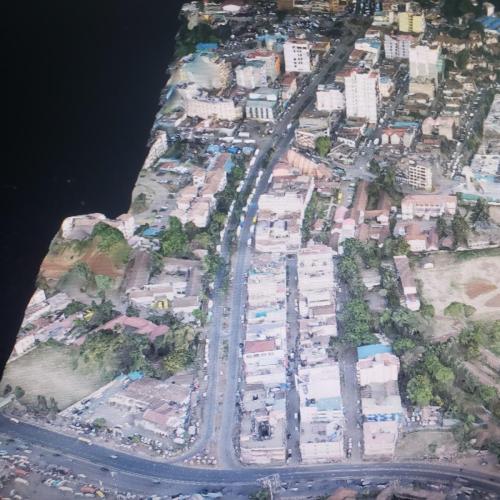
Created detailed 3D city models with 3cm accuracy for urban planning and development control.
Accurate stockpile volume measurements with 98% accuracy for mining operations and inventory management.

Comprehensive bridge inspection identifying structural defects and maintenance priorities.
Trained 45 professionals in drone operation, LiDAR data processing, and geospatial analysis.
Let's discuss how our drone surveying solutions can deliver precise data and valuable insights for your next project.
Start Your Project